The Classification That Became a Map
The appellation d'origine contrôlée system — AOC, the controlled designation of origin — was formally established by French statute in 1935. Its purpose was commercial: to prevent fraud, to name a wine by its place of production and to lock that relationship in law. What the drafters did not advertise, and perhaps did not foresee, was that fixing a boundary around a landscape and then requiring that landscape to be cultivated in a particular way would produce an extraordinarily stable physical form. The AOC designation does not simply describe the countryside; over decades it has become one of the principal forces that made it look as it does.
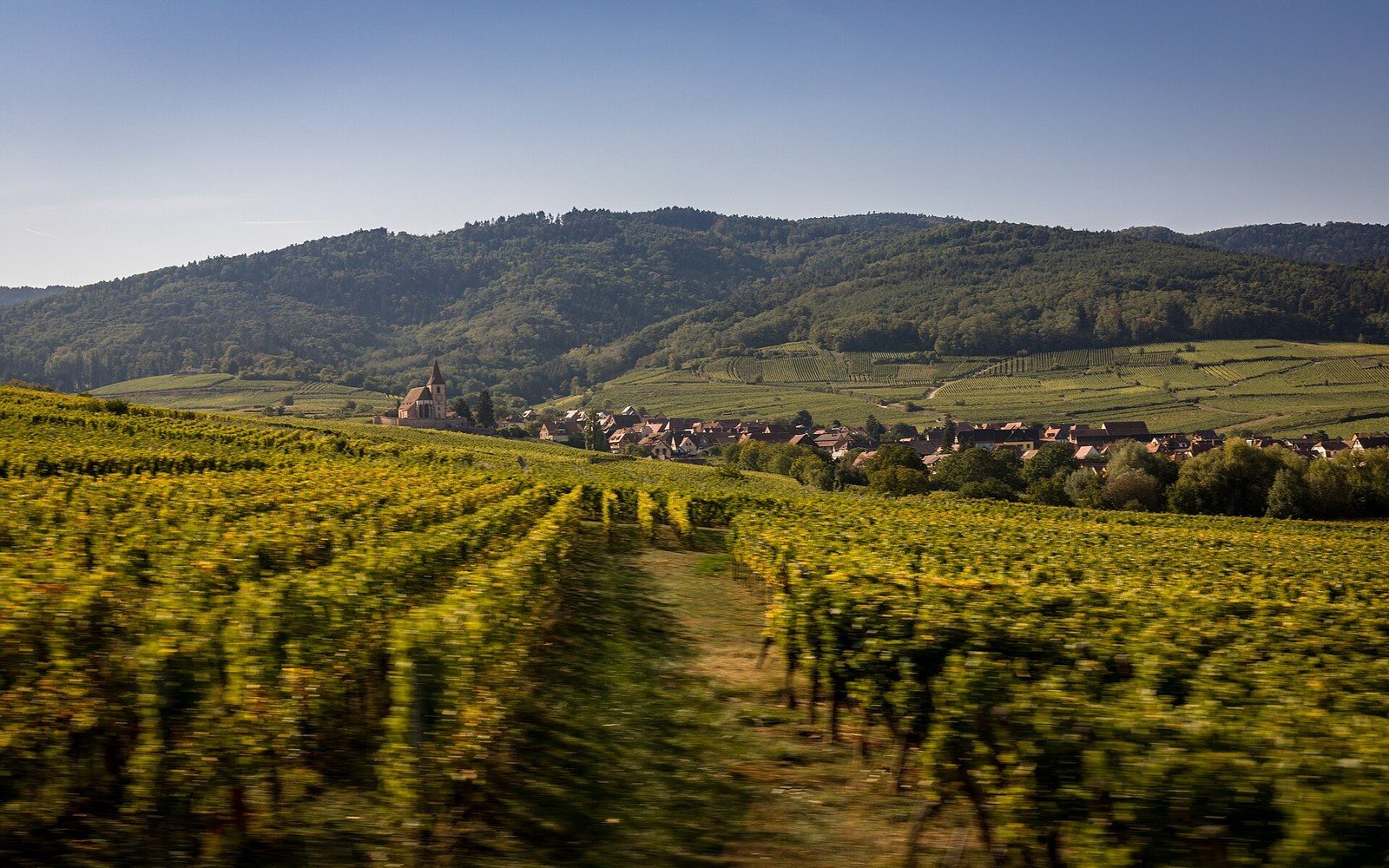
The Alsace Route des Vins is the most literal case. Running roughly 170 kilometres from Marlenheim, west of Strasbourg, to Thann, south of Colmar, the road was formalised as a tourist route in 1953, but the strip of land it follows had already been shaped by a century of vine monoculture on the lower slopes of the Vosges. The AOC Alsace designation, granted in 1962, drew a boundary that corresponded almost exactly with the band of well-drained sandstone and limestone soils between the forested Vosges ridge and the Rhine plain below. Outside that band, no Alsace AOC wine. Inside it, every field owner had a direct financial stake in keeping the vines in place. The result is a corridor in which the landscape has been frozen into a particular form: terraced slopes, stone field walls of pink Vosges sandstone, villages of colombage — the half-timbered frame construction of the region — rising from a floor of tightly managed vine parcels. The AOC boundary is invisible on the ground, but the land it encloses reads differently from every hill above it.
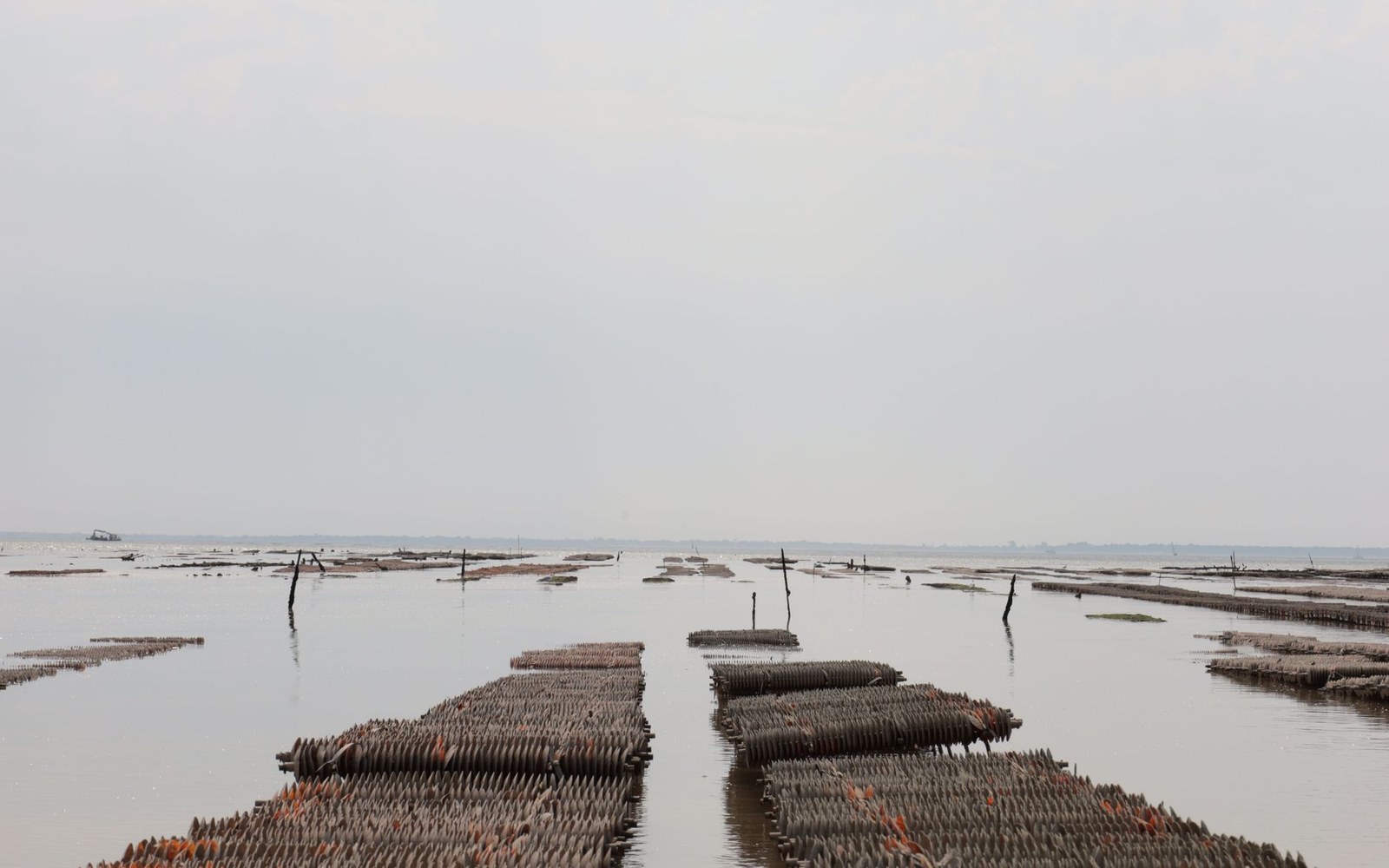
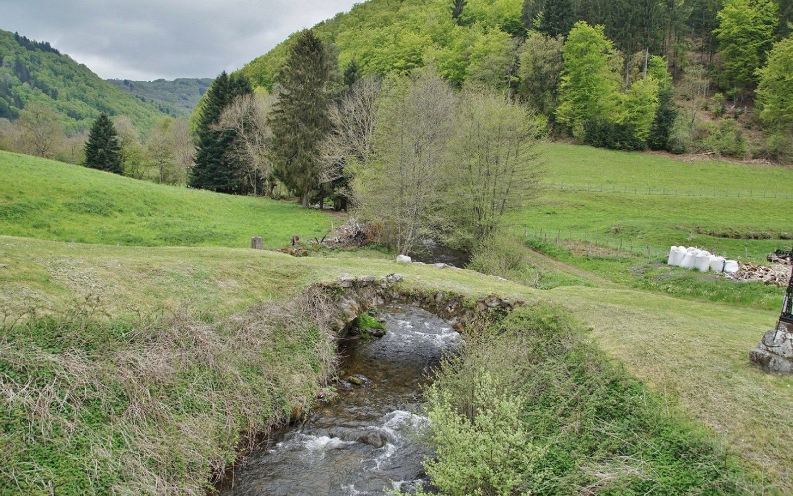
The claires are former salt pans; the oyster is finished in them, not grown. A park that permits farming, forestry and building inside its own boundary.
Photo: Serhii Kovalov / Pexels · Photo: marie françoise bastien / Pexels
Terraces as Legal Artefacts
The Côtes du Rhône presents a harder case. Here the AOC hierarchy is layered: a broad regional designation at the base, then villages appellations, then individual crus such as Hermitage and Côte-Rôtie at the top. Each tier carries different rules about permitted grape varieties, yields and, most consequentially for the physical landscape, the precise plots of land that qualify. The granite terraces above Ampuis, where Côte-Rôtie is produced, are among the steepest cultivated ground in France. They are held up by dry-stone walls — murgers in local usage — some of which were first built during Roman cultivation and have been maintained for the simple reason that without them the classified soil would wash away. The AOC designation gave those walls an economic reason to survive: a terrace left to collapse is a terrace that can no longer produce a wine worth its appellation. Growers and agricultural bodies have long noted that maintaining steep-slope terraces in classified appellations costs considerably more in labour than comparable flat-ground viticulture; the premium price supported by the AOC is what makes the arithmetic work.
The River Frontage at Bordeaux
The Bordeaux river frontages are a different morphology again. Here the Gironde estuary and the alluvial gravels deposited on its left bank produced flat or gently rolling terrain, and the AOC boundaries follow soil type and drainage rather than slope. The classification here shaped the landscape less by preserving terraces than by fixing the use of the land at the parcel level. Grand cru classé vineyards designated under the 1855 classification — confirmed and periodically revised since — have remained in continuous vine cultivation because the designation made any alternative use economically irrational. The low stone walls dividing one château's parcels from another's are property law made visible, and the AOC boundary drawn around each commune appellation is the reason the riverbank looks continuous, planted and tended rather than fragmenting into mixed agricultural use as population and commodity prices shifted over the twentieth century.
The AOC system did not set out to be a landscape conservation instrument. It became one by making the continuation of a very specific land use the only commercially rational choice for three generations of growers.