What the Designation Recognises
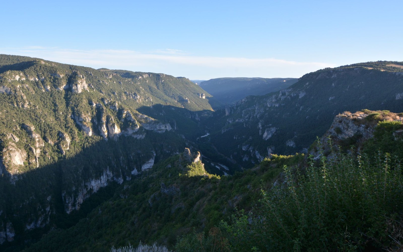
The Causses and Cévennes were inscribed on the UNESCO World Heritage List in 2011 as a cultural landscape — a category distinct from natural heritage, and deliberately so. The committee's reasoning was explicit: the site was awarded designation for its agropastoral land use, the centuries-old system of raising sheep and cattle on the limestone plateaux of the Causses and the granite flanks of the Cévennes, moving them seasonally between altitude zones.
That seasonal movement is transhumance, and its physical record is the draille (drove road), a broad, unfenced corridor worn into the land by generations of passage. Flocks moving from the winter lowlands of the Languedoc to summer pastures on the high Causses have used these routes for at least a thousand years. The IGN's topographic series maps many drailles by name, their widths occasionally reaching fifty metres where the ground is soft enough to have recorded the pressure. They are not paths in the modern sense; they are landscape features, legally defined corridors in some cases still protected under French agricultural law.
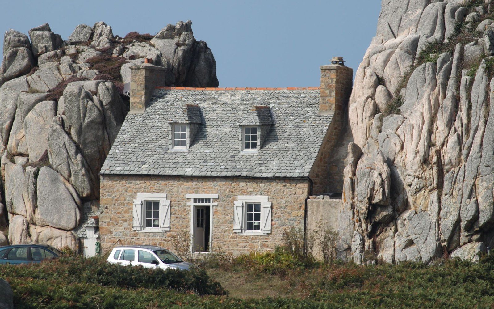
The blind north gable: a longère was lengthened along its ridge, never outward.
Photo: lemapuche breton / Pexels
The designated perimeter covers roughly 302,319 hectares across Aveyron, Gard, Hérault and Lozère, according to UNESCO's own boundary data. Within it, the Parc national des Cévennes — the only national park in metropolitan France with a substantial permanent population — sits as a nested zone. The Parcs naturels régionaux logic applies to the broader buffer: inhabited, working land, managed and protected precisely because it is not empty.
Chestnuts, Terraces and the Evidence of Labour
Alongside the drailles, the listing specifically names chestnut cultivation as a defining feature. In the Cévennes, the châtaignier (sweet chestnut tree) was so central to diet and economy from the medieval period onward that it was called l'arbre à pain — the bread tree. Terraced hillsides, known locally as bancels or faïsses, were built by hand to retain soil on near-vertical granite slopes. The terraces are infrastructure as much as agriculture, and they belong to the same tradition of deliberate landscape-making that the UNESCO designation was designed to protect.
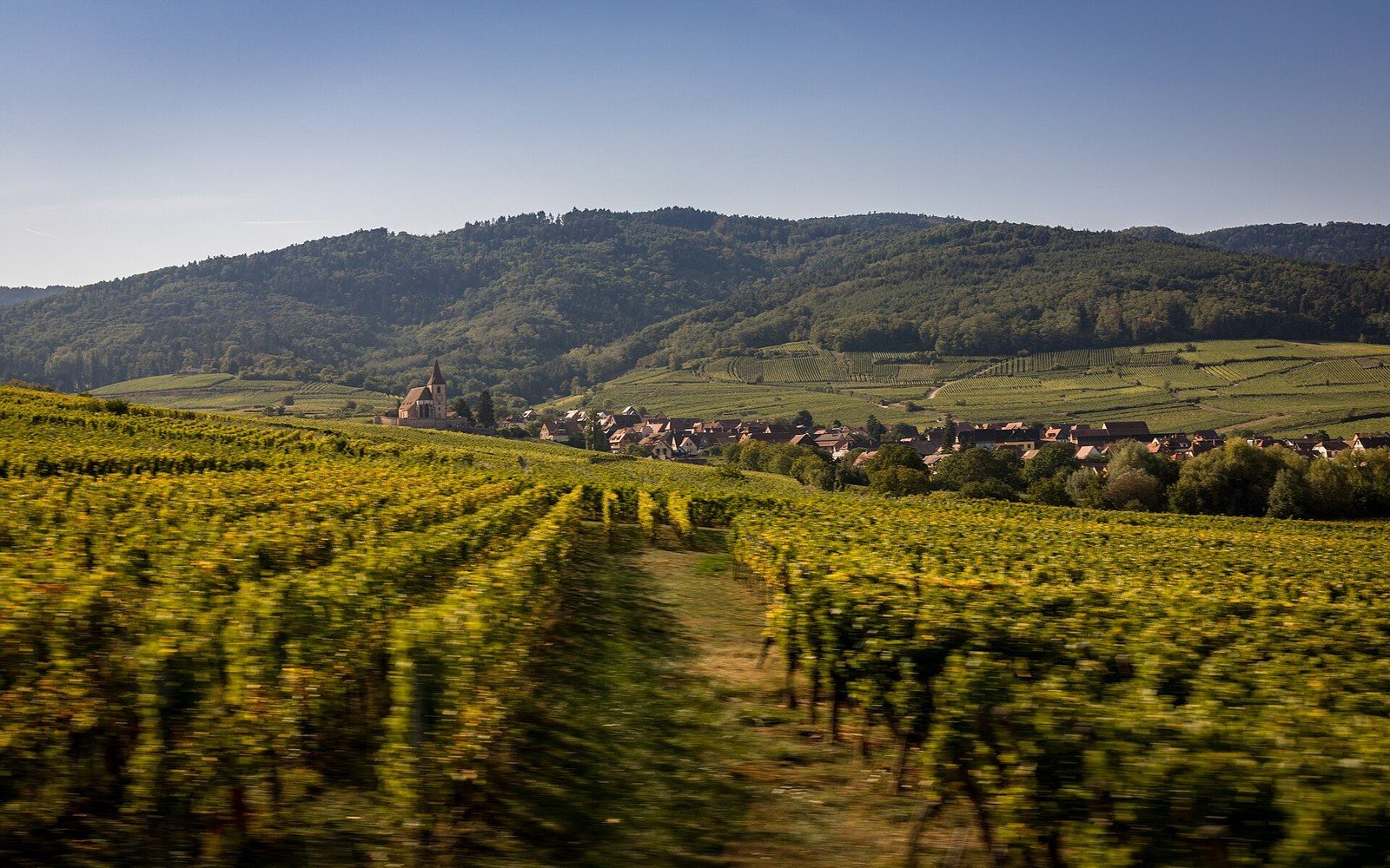
A monocultural strip 170 kilometres long, held in place by a designation.
Photo: Route des vins, Alsace · Wikimedia Commons
The chestnut's decline through the twentieth century — brought on partly by the encre fungal disease and partly by rural depopulation — left many terraces unmaintained. Scrub colonised them. The listing creates an obligation, at least in principle, to document and where possible to sustain what remains, and several local associations have worked to restore chestnut orchards within the perimeter.
What This Means for Property in the Zone
A building within the inscribed perimeter sits in land that UNESCO characterises, in its own formal language, as an "outstanding example of a traditional human settlement" and a "living cultural landscape." That status does not in itself restrict renovation or short-term letting, but it reinforces other layers of designation — the Architectes des Bâtiments de France jurisdiction, national park regulations, the rules of any Parc naturel régional buffer zone — that do. The practical effect is that significant exterior alterations require careful navigation of overlapping authorities.
For owners and buyers, the more immediate significance may be in understanding what they are looking at. The landscape of the Causses and Cévennes is not accidentally beautiful. The open grassland of the causses (limestone plateaux) exists because sheep grazed it for centuries; without them, woodland returns. The terraced chestnut slopes of the Cévennes exist because families built them, stone by stone, over generations. The drailles crossing both zones exist because moving animals needed a road. What looks like wilderness is an archive.
The 2011 listing did not create that landscape. It read it correctly.